Know Our River

There’s much to love about the Uncompahgre River, but its beauty and lively flow conceal deeper river truths. In nature, a river’s job is to carry water and rock according to the laws of gravity and hydrology, with spin-off benefits such as lush plant growth and habitat for fish and wildlife.
But we have added more tasks to this rural and urban river such as serving as a conduit to move Gunnison River water, cleaning dirty water that runs off streets and fields, providing irrigation and municipal water, and entertaining us in dozens of ways. As we’ve asked more of this river, we’ve also constrained its ability to do its job by controlling when and how much it flows, infringing on its floodplain, and introducing non-native species. ForU’s challenge is to help this river be the best it can be given the many jobs it has to do.
Home of the Ute
ForU recognizes the importance of this river to people over the millennia, and we strive to sustain people’s deep connection to it into the future. The name Uncompahgre (ʌnkʌmˈpɑːɡreɪ) comes from the Ute who long resided in this river valley and the region, sustained by its water, wildlife and plants. Uncompaghre loosely translates to “dirty water,” “red lake,” “red water spring” or “where water makes rock red.”
The Reach
The Uncompahgre River flows from its origin at Lake Como,12,215 feet in the San Juan Mountains, approximately 75 miles northwest to its confluence with the Gunnison River. It flows through three counties, Ouray, Montrose and Delta and five towns — Ouray, Ridgway, Montrose, Olathe and Delta. The Uncompahgre Valley is bounded by the San Juan Mountains to the south and east and the Uncompahgre Plateau to the west.
The Gunnison Tunnel
The Uncompahgre sustains over 80,000 acres of farm and ranch lands. In 1909, Gunnison Tunnel was completed, greatly increasing the amount of land in the valley that could be irrigated. The 5.8-mile tunnel diverts Gunnison River water from the Black Canyon through the South Canal to the Uncompahgre River, which then carries it to a vast irrigation distribution system sustaining a variety of crops and livestock vital to this region’s economy.
The tunnel also sustains an unusually long paddling and river surfing season with sufficient flows to float boats and boards from late March into October.
Read the history in this article: https://coloradosun.com/2021/11/07/gunnison-tunnel-irrigates-uncompahgre-valley/
Water Flows
“A river is time in water; as it came, still so it flows, yet never is the same.”
– Leonardo da Vinci
The City of Montrose generates an estimate of the cubic feet per second (cfs) flow through Montrose using an extrapolation from flow levels at the Colona USGS gauge with adjustments for inflows from the Gunnison Tunnel via the South Canal. Other variables like locally heavy rain storms, changes in irrigation demand, and dam releases cause great variation in flows. Know the flow before you put your boat or SUP in the water.
Montrose Flow Estimate: https://www.cityofmontrose.org/613/Water-Sports-Park
Colona Gauge Flows: https://waterdata.usgs.gov/monitoring-location/09147500/#parameterCode=00065&period=P7D
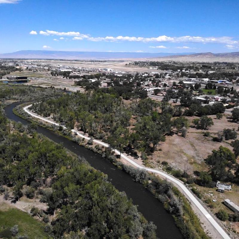
Uncompahgre Riverway Master Plan
With involvement and financial from ForU, a master plan for the river and its corridor was completed in 2011. City of Montrose staff, consultants, a working group and many citizens contributed to this comprehensive effort. It has provided the direction for many improvements that have been completed since then including the Water Sports Park and, most recently, the Rotary amphitheater.
View plan:
https://www.cityofmontrose.org/612/Uncompahgre-Riverway-Master-Plan
Photo courtesy of City of Montrose, Colorado
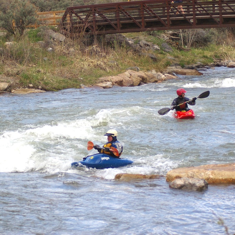
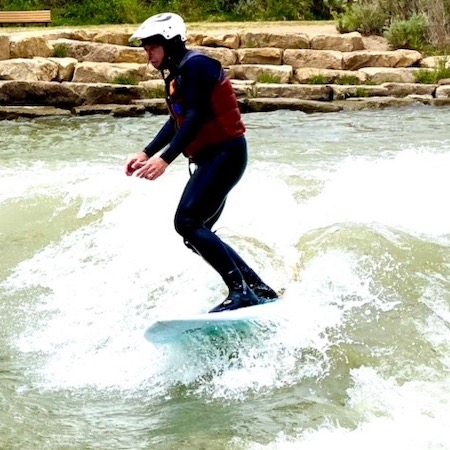
Water Sports Park
The Montrose Water Sports Parks is one of the largest in the state with six drop structures that create waves for surfing and paddling excitement. It’s also popular with families with areas suitable for children to play. It is one of the few whitewater parks in the US that meets ADA accessibility standards.
More information: https://www.cityofmontrose.org/613/Water-Sports-Park
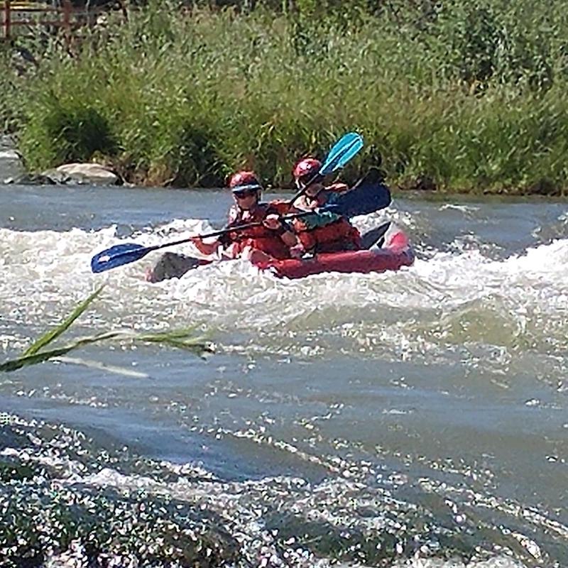
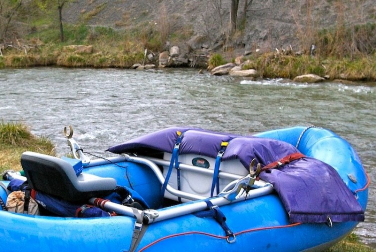
The Town Run
With some narrow passages, swift current, overhanging trees and other natural obstacles, the Town Run through Montrose is ideal for kayaks, small rafts and down-river SUPs with skilled paddlers. Most of the Town Run is not suitable for tubing due to hazards and current. The Water Sports Park is where most people enjoy using their water toys. The City has constructed boat ramps at multiple locations along the river – at Chipeta Lake Park on the south end of town, before and after the Water Sports Park for those who want to play in the waves or avoid them, at the West Main Trailhead and just north of Taviwach Park near the northern end of town.
Safety
The takeout at Taviwach is the last safe place with public access to get off of the river before a dangerous water diversion at La Salle Rd. A sign river right provides an alert 200 yards before the takeout. A second sign is located on an island marking the channel on the right used to reach the takeout.
The current at the Taviwach takeout is strong. Boaters should stagger entering the takeout channel to catch the small eddy. About 1.6 miles downstream of the Chipeta Lake boat ramp, the river narrows where dirt, rocks and trees from the side of Sunset Mesa are eroding. Use extra caution through this stretch of private property. If you discover a dangerous blockage, alert City Parks at 970.240.1480, or in cases of emergency call 911.
Children 12 years old and younger must always wear a PFD (life jacket) when on the river. All boats and SUPs must have one PFD per person on board. Wearing PFDs, cold-water gear and helmets is highly recommended on the Uncompahgre.
River Safety Reminders on City of Montrose website
View or download regulations: https://cpw.state.co.us/Documents/Boating/BoatingRegulations.pdf
Water Quality
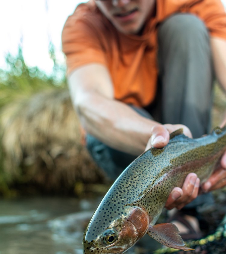
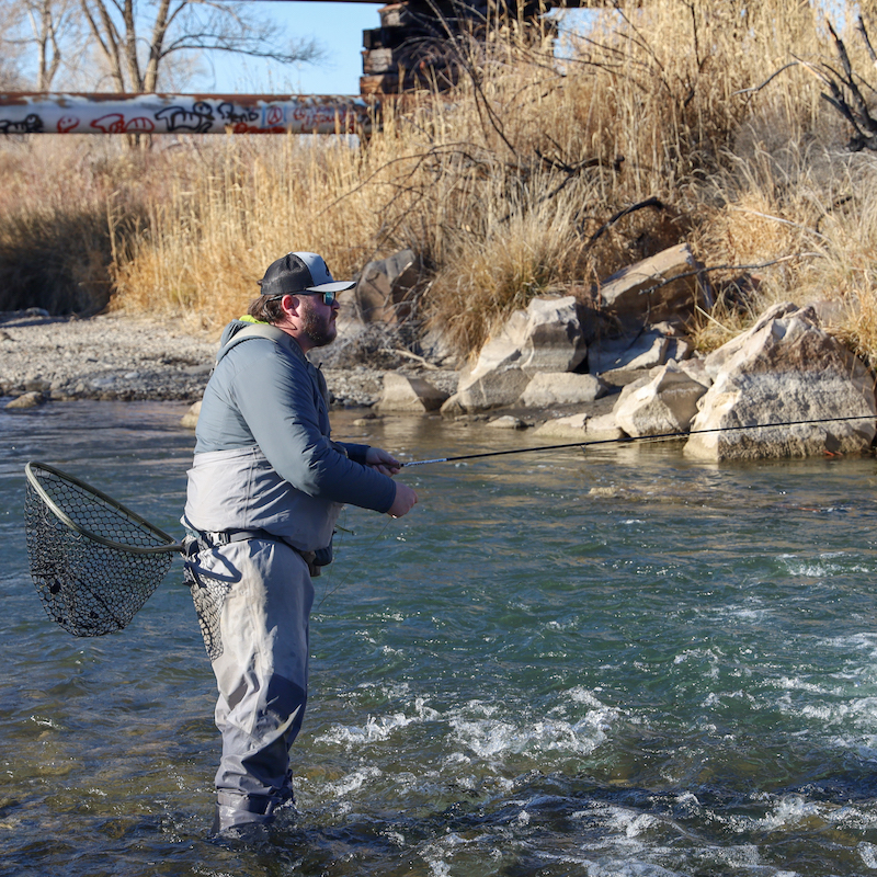
Colorado Parks and Wildlife has named the Uncompahgre River through Montrose as Quality Waters, which are lakes and streams that contain productive, quality fisheries with public access and that are fishable by most angling methods. The quality of the water in the Uncompahgre is measured by Colorado River Watch, a statewide monitoring program where volunteers and students collect water samples to inform that public and decision makers about the condition of rivers in the state.
Other Helpful Links
- River Access Map (pdf): https://www.cityofmontrose.org/DocumentCenter/View/98/Uncompahgre-Riverway-Trail-Map?bidId=
- Montrose Recreation Map: https://www.cityofmontrose.org/DocumentCenter/View/44402/Montrose-Colorado-Official-City-and-Recreation-Map
- Interactive Parks Map: https://www.cityofmontrose.org/333/Interactive-Parks-Map
Friends of the River Uncompahgre (ForU)
foru.montrose@gmail.com
